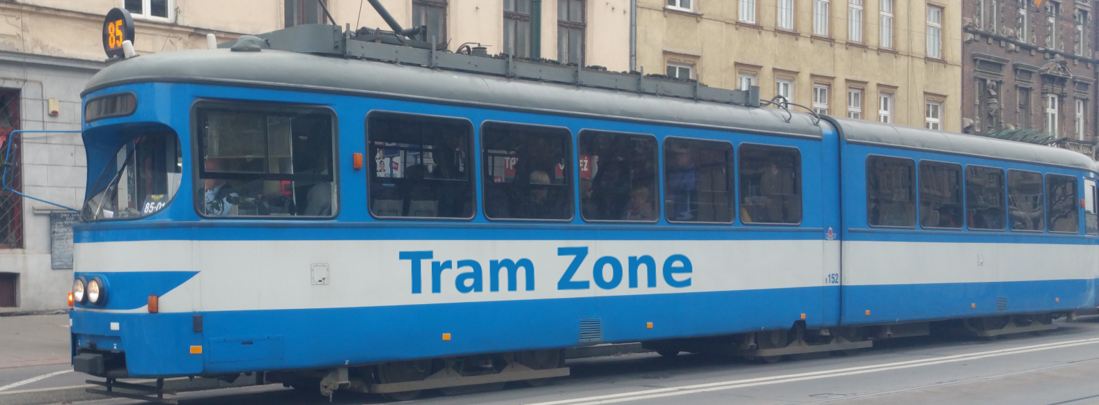
Tram line 58 in Melbourne
Tram line 58 runs between West Coburg in Melbourne’s northern suburbs and Toorak in the south-east.
The line connects the residential districts of West Coburg and Brunswick West with Royal Park, Melbourne Zoo, the Parkville hospital precinct, the Queen Victoria Market, Melbourne’s central business district, Southbank, Anzac Station, South Yarra and Toorak Village.
Line 58 was introduced on 1 May 2017 by combining the former Line 55 between West Coburg and the city with the southern section of the former Line 8 to Toorak. It was diverted via Toorak Road West in July 2017 following the closure of the Domain Road tram corridor, and E-class trams began operating on the line in December 2021.
Note: York St/Kings Way is served only by trams travelling towards Toorak. In the opposite direction, trams serve Sturt St/Kings Way instead.
From West Coburg, Line 58 runs south along Melville Road through Pascoe Vale South and Brunswick West. It continues through Dawson Street and Grantham Street before crossing Royal Park, serving Royal Park station, Melbourne Zoo and the surrounding parkland.
The line continues along Flemington Road through the Parkville medical precinct, serving the Royal Children’s Hospital and Royal Melbourne Hospital. It then follows Peel Street past the Queen Victoria Market before travelling through the central business district along William Street, serving Flagstaff Station and the city’s legal and commercial districts.
South of the city, Line 58 crosses the River Yarra on Queens Bridge and continues through Southbank, City Road and Kings Way. Toorak-bound trams serve York St/Kings Way, while West Coburg-bound services use Sturt St/Kings Way. The route then follows Park Street to St Kilda Road, serving Anzac Station before turning into Toorak Road West.
Line 58 continues east through South Yarra, serving Fawkner Park, South Yarra station and Chapel Street. It then follows Toorak Road through Toorak Village and the surrounding residential districts before terminating at Glenferrie Road.
Below is a stop-by-stop description of the route of tram line 58 in Melbourne. Times shown are an estimate of the time taken to travel between each stop.
The following icons are shown next to the name of the stop to indicate interchanges with other routes
- Interchange for other tram routes.
- Interchange on to bus routes.
- Interchange on to train routes.
- Interchange on to metro/subway/underground routes.
- Interchange on to boat routes.
- Interchange for airport.
- Interchange for a cable-car/urban cable-car service.
- Interchange for a lift.
Bell St/Melville Rd is a tram terminus on Melville Road in Pascoe Vale South, near the junction with Bell Street.
The stop provides connections to bus services.
Brearley Pde/Melville Rd is a stop on Melville Road in Pascoe Vale South, near the junction with Brearley Parade.
Princes Tce/Melville Rd is a stop on Melville Road in Pascoe Vale South, near the junction with Princes Terrace.
Reynard St/Melville Rd is a stop on Melville Road in Pascoe Vale South, near the junction with Reynard Street.
The stop provides connections to bus services.
Woodlands Avenue/Melville Road is a stop on Melville Road in Pascoe Vale South, near the junction with Woodlands Avenue.
Moreland Rd/Melville Rd is a stop on Melville Road in Pascoe Vale South, near the junction with Moreland Road.
The stop provides connections to bus services.
Jacobs Reserve/Melville Rd is a stop on Melville Road in Brunswick West, to Jacobs Reserve a small heritage park.
Albion St/Melville Rd is a stop on Melville Road in Brunswick West, near the junction with Albion Street.
The stop provides connections to bus services.
Hope St/Melville Rd is a stop on Melville Road in Brunswick West, near the junction with Hope Street.
The stop provides connections to bus services.
Victoria St/Melville Rd is a stop on Melville Road in Brunswick West, near the junction with Victoria Street.
The stop provides connections to bus services.
Smith St/Melville Rd is a stop on Melville Road in Brunswick, near the junction with Smith Street.
The stop provides connections to bus services.
South Daly St/Dawson St is a stop on Dawson Street in Brunswick West, near the junction with South Daly Street.
Grantham St/Dawson St is a stop on Grantham Street in Brunswick West, near the junction with Dawson Street. The stop in the other direction is called Dawson St/Grantham St.
The stop provides connections to bus services.
Union Square Shopping Centre/Grantham St is a stop on Grantham Street in Brunswick West, next to Union Square Shopping Centre.
Brunswick Rd/Grantham St is a stop on Grantham Street in Brunswick West, at the junction with Brunswick Road.
The stop provides connections to bus services.
Park St/Royal Park is a stop in Royal Park in Parkville, near Park Street.
Royal Park Station/Royal Park is a stop in Royal Park in Parkville, near Royal Park Station.
The stop provides connections to bus and rail services.
Melbourne Zoo/Royal Park is a stop in Royal Park in Parkville, near Melbourne Zoo.
State Netball Hockey Centre/Royal Park is a stop in Royal Park in Parkville, near the State Netball Hockey Centre.
Elliott Avenue/Royal Park is a stop on Royal Park in Parkville, near the junction with Elliott Avenue.
Royal Childrens Hospital/Flemington Rd is a stop on Flemington Road in North Melbourne, next to the Royal Children's Hospital.
The stop is also served by tram line 59.
Murphy St/Flemington Rd is a stop on Flemington Road in North Melbourne, near the junction with Murphy Street.
The stop is also served by tram line 59.
Royal Melbourne Hospital/Flemington Rd is a stop on Flemington Road in North Melbourne, near the junction with Grattan Street and next to the Royal Melbourne Hospital.
The stop is also served by tram line 59 and provides connections to bus services.
Flemington Road/Peel Street is a stop on Peel Street in Nourth Melbourne, near the junction with Flemington Road.
Queensberry St/Peel Street is a stop on Peel St in North Melbourne, near the junction with Queensberry Street.
Peel St/Victoria St & Victoria St/Peel St are stops at the Victoria Street and Peel Street junction. The stop on the east/west route along Victorial Street is called Peel St/Victoria St and the one on the north/south route is Victoria St/Peel St.
The stop is also served by tram line 57.
Queen Victoria Market/Peel St is a stop on Peel Street in North Melbourne, next to Queen Victoria Market.
Flagstaff Railway Station/William St is a stop on William Street, near the junction with Little Lonsdale Street. Flagstaff Station after which the stop is named is nearby.
The stop provides connections to rail services.
William St/Collins St and Collins St/William St is a tram interchange in central Melbourne at the junction of William Street and Collins Street. The platforms on Collins Street are named William St/Collins St, whilst those on William Street are named Collins St/William St.
Flinders St/Queens Bridge St is a stop on Queens Bridge Street, near the junction with Flinders Street.
The stop provides connections to bus services.
Casino/Southbank/Queens Bridge St is a stop on Queens Bridge Street in Southbank, near the Crown Melbourne entertainment complex.
The stop provides connections to bus services.
City Rd/Kings Way is a stop beneath Kings Way in Southbank, near the junction with City Road.
The stop provides connections to bus services.
York St/Kings Way is a stop in the central reeservation of Kings Way in South Melbourne, near the junction with York Street.
Note: York St/Kings Way is served only by line 58 trams travelling towards Toorak. Services towards West Coburg serve Sturt St/Kings Way instead.
Wells St/Park St is a stop on Park Street in South Melbourne, near the junction with Wells Street.
Anzac Station/St Kilda Rd is a major public transport interchange on St Kilda Road, providing direct access to the underground railway station. The tram stop opened in December 2022 as a replacement for the former Domain Interchange and takes its name from the adjoining station.
The stop is also served by tram lines 3, 5, 6, 16, 64, 67 and 72 and provides connections to bus and rail services.
Fawkner Park/Toorak Rd is a stop on Toorak Road in South Yarra, next to Fawkner Park.
Walsh St/Toorak Rd is a stop on Toorak Road in South Yarra, near the junction with Walsh Street.
Punt Rd/Toorak Rd is a stop on Toorak Road in South Yarra, near the junction with Punt Road.
The stop provides connections to bus services.
South Yarra Railway Station/Toorak Rd is a stop on Toorak Road in South Yarra, next to South Yarra Railway Station.
The stop provides connections to rail services.
Chapel St/Toorak Rd is a stop on Toorak Road in South Yarra, near the junction with Chapel Street.
The stop is also served by tram line 78.
Tivoli Rd/Toorak Rd is a stop on Toorak Road in South Yarra, near the junction with Tivoli Road.
Hawksburn Rd/Toorak Rd is a stop on Toorak Road in South Yarra, near the junction with Hawksburn Road.
Williams Rd/Toorak Rd is a stop on Toorak Road in South Yarra, near the junction with Williams Road.
Toorak Village/Toorak Rd is a stop on Toorak Road in Toorak, near the junction with Toorak Village.
Grange Rd/Toorak Rd is a stop on Toorak Road in Toorak, near the junction with Grange Road. The stop in the other direction is called Canterbury Rd/Toorak Rd.
The stop provides connections to bus services.
Orrong Rd/Toorak Rd is a stop on Toorak Road in Toorak, near the junction with Orrong Road.
The stop provides connections to bus services.
Woorigoleen Rd/Toorak Rd is a stop on Toorak Road in Toorak, near the junction with Woorigoleen Road.
Irving Rd/Toorak Rd is a stop on Toorak Road in Toorak, near the junction with Irving Road.
Kooyong Rd/Toorak Rd is a stop on Toorak Road in Toorak, near the junction with Kooyong Road.
Moonga Rd/Toorak Rd is a stop on Toorak Road in Toorak, near the junction with Moonga Road.
Toorak Rd/Glenferrie Rd and Glenferrie Rd/Toorak Rd is a tram interchange in Malvern. The stops for trams running north/south are called Toorak Road/Glenferrie Road and the terminus on Toorak road is called Glenferrie Road/Toorak Road.
The stop is also served by tram line 16.
Sturt St/Kings Way is a stop on Kings Way in South Melbourne, near the junction with Sturt St.
Note: Sturt St/Kings Way is served only by line 58 trams travelling towards West Coburg. Services towards Toorak serve York St/Kings Way instead.