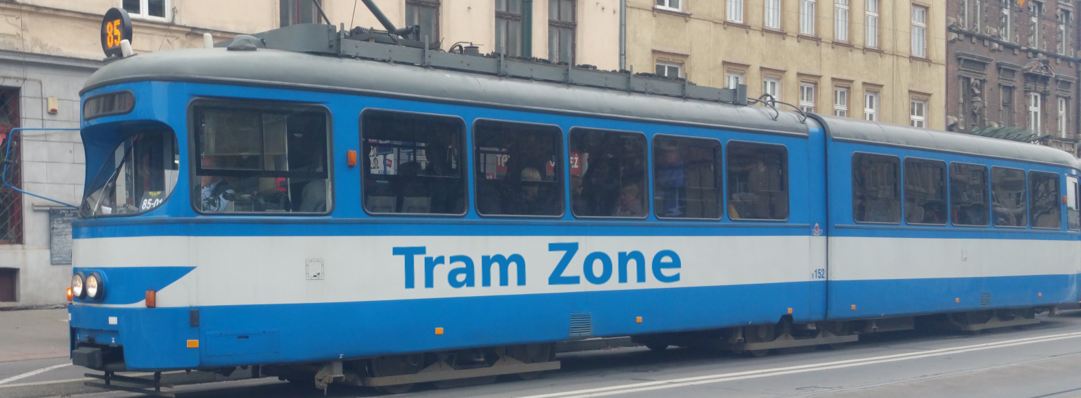
Tram line 64 in Melbourne
Tram line 64 runs between Melbourne University and East Brighton, serving 60 stops.
The line connects the university precinct and central Melbourne with the Arts Precinct, ANZAC Station, St Kilda Junction, Windsor, Caulfield North, Caulfield South and Brighton East.
During the evening, Line 64 operates as a shortened service between Dandenong Rd/Wattletree Rd and East Brighton. Passengers travelling beyond Dandenong Rd/Wattletree Rd must change services there.
From Melbourne University, Line 64 follows Swanston Street through central Melbourne, serving RMIT University, Melbourne Central, Bourke Street Mall, City Square and Federation Square. It crosses the River Yarra and continues along St Kilda Road through the Arts Precinct and past the Shrine of Remembrance to ANZAC Station.
The route continues south along St Kilda Road before leaving the corridor at St Kilda Junction. It follows Queens Way and Dandenong Road through Windsor and the surrounding suburbs, crossing Chapel Street and Orrong Road before reaching Hawthorn Road.
Line 64 turns south onto Hawthorn Road and continues through Caulfield North and Caulfield South. It passes Caulfield Park, crosses Balaclava Road and Glen Huntly Road, and continues through Brighton East to its terminus at East Brighton.
Below is a stop-by-stop description of the route of tram line 64 in Melbourne. Times shown are an estimate of the time taken to travel between each stop.
The following icons are shown next to the name of the stop to indicate interchanges with other routes
- Interchange for other tram routes.
- Interchange on to bus routes.
- Interchange on to train routes.
- Interchange on to metro/subway/underground routes.
- Interchange on to boat routes.
- Interchange for airport.
- Interchange for a cable-car/urban cable-car service.
- Interchange for a lift.
Melbourne University/Swanston St is a major public transport interchange in Carlton, named after the adjacent University of Melbourne. Its accessible island platform serves both through trams and services terminating on three shunt tracks.
The stop is also served by tram lines 1, 3, 5, 6, 16, 67 and 72 and provides connections to bus services.
RMIT University/Swanston St is a major public transport interchange in Melbourne city centre. It is named after RMIT University, whose City campus surrounds the stop, and is adjacent to the Franklin Street entrance to State Library railway station.
The stop is also served by tram lines 1, 3, 5, 6, 16, 67 and 72 and provides connections to rail services.
Melbourne Central Station/Swanston St is a major public transport interchange in Melbourne city centre, named after the adjoining Melbourne Central railway station. It also provides access to State Library railway station through the connected underground station complex.
The stop is also served by tram lines 1, 3, 5, 6, 16, 67 and 72 and provides connections to rail services.
Bourke Street Mall/Swanston St is a tram interchange in Melbourne city centre, located at the junction of Swanston Street and Bourke Street Mall. It takes its name from the pedestrianised shopping street through which trams run.
The stop is also served by tram lines 1, 3, 5, 6, 16, 67, 72, 86 and 96.
City Square/Swanston St is a major public transport interchange in Melbourne city centre, named after the adjacent City Square. It is located beside the main entrance to Town Hall railway station.
The stop is also served by tram lines 1, 3, 5, 6, 16, 67 and 72 and provides connections to rail services.
Federation Square/Swanston St is a major public transport interchange in Melbourne city centre, named after the adjacent Federation Square. It is opposite Flinders Street railway station and beside an entrance to Town Hall railway station.
The stop is also served by tram lines 1, 3, 5, 6, 16, 67 and 72 and provides connections to rail services.
Arts Precinct/St Kilda Rd is a platform tram stop at the northern end of Melbourne’s Arts Precinct. It takes its name from the surrounding concentration of cultural institutions, including Arts Centre Melbourne and the National Gallery of Victoria.
The stop is also served by tram lines 1, 3, 5, 6, 16, 67 and 72.
Grant St-Police Memorial/St Kilda Rd is a tram stop in the central reservation of St Kilda Road. It is named after nearby Grant Street and the Victoria Police Memorial, which commemorates Victoria Police officers killed in the line of duty.
The stop is also served by tram lines 3, 5, 6, 16, 67 and 72.
Anzac Station/St Kilda Rd is a major public transport interchange on St Kilda Road, providing direct access to the underground railway station. The tram stop opened in December 2022 as a replacement for the former Domain Interchange and takes its name from the adjoining station.
The stop is also served by tram lines 3, 5, 6, 16, 58, 67 and 72 and provides connections to bus and rail services.
Queens Way is a tram stop in Windsor, situated in the central reservation of Queens Way near Upton Road. It takes its name from the road on which it is located.
The stop is also served by tram line 5.
Hornby St/Dandenong Rd is a tram stop in Windsor, located in the central reservation of Dandenong Road. It takes its name from the junction with Hornby Street.
The stop is also served by tram line 5.
The Avenue/Dandenong Rd is a tram stop in Windsor, located in the central reservation of Dandenong Road. It takes its name from the junction with The Avenue.
The stop is also served by tram line 5.
Williams Rd/Dandenong Rd is a tram stop in Prahran, located in the central reservation of Dandenong Road. It takes its name from the junction with Williams Road.
The stop is also served by tram line 5 and provides connections to bus services.
Closeburn Ave/Dandenong Rd is a tram stop in St Kilda East, located in the central reservation of Dandenong Road. The eastbound platform takes its name from nearby Closeburn Avenue, while the westbound platform is called Alexandra St/Dandenong Rd after the adjoining street on the opposite side of the road.
The stop is also served by tram line 5.
Lansdowne Rd/Dandenong Rd is a tram stop in St Kilda East, located in the central reservation of Dandenong Road. It takes its name from the junction with Lansdowne Road.
The stop is also served by tram line 5.
Orrong Rd/Dandenong Rd is a tram stop in Armadale, located in the central reservation of Dandenong Road. It takes its name from the junction with Orrong Road.
The stop is also served by tram line 5 and provides connections to bus services.
Wattletree Rd/Dandenong Rd is a tram stop in Armadale, located in the central reservation of Dandenong Road immediately west of its junction with Wattletree Road. It takes its name from that junction.
The stop is also served by tram line 5.
Kooyong Rd/Dandenong Rd is a stop in the central reservation of Dandenong Road in Armadale, near the junction with Kooyong Road.
The stop provides connections to bus services.
Egerton Rd/Dandenong Rd is a stop in the central reservation of Dandenong Road in Armadale, near the junction with Egerton Road. The stop in the opposite direction is called Matlock Ct/Dandenong Rd.
Bailey Ave/Dandenong Rd is a stop in the central reservation of Dandenong Road in Armadale, near the junction with Bailey Avenue.
This is a tram interchange in Caulfield North. The Kew-bound platform is called Dandenong Rd/Hawthorn Rd, while the Melbourne University-bound platform is called Hawthorn Rd/Dandenong Rd.
The stop is also served by tram line 16.
Wanda Rd/Hawthorn Rd is an on-street tram stop on Hawthorn Rd in Caulfield North at the junction with Wanda Road and Arthur Street. The platform in the opposite direction is called Arthur St/Hawthorn Rd.
The stop is also served by tram line 16.
Inkerman Rd/Hawthorn Rd is an on-street tram stop in Caulfield North on the junction of Inkerman Road and Hawthorn Road.
The stop is also served by tram line 16.
Hawthorn Rd/Balaclava Rd and Balaclava Rd/Hawthorn Rd is a multi-platform tram stop at the intersection of Hawthorn Road and Balaclava Road in Caulfield North. The platforms on Balaclava Road are called Hawthorn Rd/Balaclava Rd, while those on Hawthorn Road are called Balaclava Rd/Hawthorn Rd.
Halstead St/Hawthorn Rd is a stop on Hawthorn Road in Caulfield North, near the junction with Halstead Street.
Northcote Ave/Hawthorn Rd is a stop on Hawthorn Road in Caulfield North, near the junction with Northcote Avenue. The stop in the opposite direction is called Crotonhurst Ave/Hawthorn Rd.
Glen Eira Rd/Hawthorn Rd is a stop on Hawthorn Road in Caulfield North, near the junction with Glen Eira Road.
The stop provides connections to bus services.
Sylverly Gr/Hawthorn Rd is a stop on Hawthorn Road in Caulfield North, near the junction with Sylverly Grove.
Briggs St/Hawthorn Rd is a stop on Hawthorn Road in Caulfield North, near the junction with Briggs Street. The stop in the opposite direction is called Lockhart St/Hawthorn Rd.
Glenhuntly Rd/Hawthorn Rd and Hawthorn Rd/Glenhuntly Rd is a tram interchange at the junction of Hawthorn Road and Glenhuntly Road in Caulfield. For trams running north/south, the stop is called Glenhuntly Rd/Hawthorn Rd and for those running east/west, it is called Hawthorn Rd/Glenhuntly Rd
The stop is also served by tram line 67.
Sycamore St/Hawthorn Rd is a stop on Hawthorn Road in Caulfield South, near the junction with Sycamore Street.
Princes Park/Hawthorn Rd is a stop on Hawthorn Road in Caulfield South, next to Princes Park.
Dover St/Hawthorn Rd is a stop on Hawthorn Road in Caulfield South, near the junction with Dover Street.
The stop provides connections to bus services.
Stone St/Hawthorn Rd is a stop on Hawthorn Road in Caulfield South, near the junction with Stone Street. The stop in the opposite direction is called Raynes St/Hawthorn Rd.
Gardenvale Rd/Hawthorn Rd is a stop on Hawthorn Road in Caulfield South, near the junction with Gardenvale Road and next to Brighton General Cemetry.
North Rd/Hawthorn Rd is a stop on Hawthorn Road in Brighton East, near the junction with North Road.
The stop provides connections to bus services.
Taylor St/Hawthorn Rd is a stop on Hawthorn Road in Brighton East, near the junction with Taylor Street.
Davey Ave/Hawthorn Rd is a stop on Hawthorn Road in Brighton East, near the junction with Davey Avenue.
The stop provides connections to bus services.
Union St/Hawthorn Rd is a stop on Hawthorn Road in Brighton East, near the junction with Union Street.
The stop provides connections to bus services.
Rogers Ave/Hawthorn Rd is a stop on Hawthorn Road in Brighton East, near the junction with Rogers Avenue. The stop in the opposite direction is called Howell St/Hawthorn Rd.
East Brighton/Hawthorn Rd is a tram terminus on Hawthorn Road in Brighton East, near the junction with Nepean Highway. The stop was previously called Nepean Highway & Hawthorn Road.