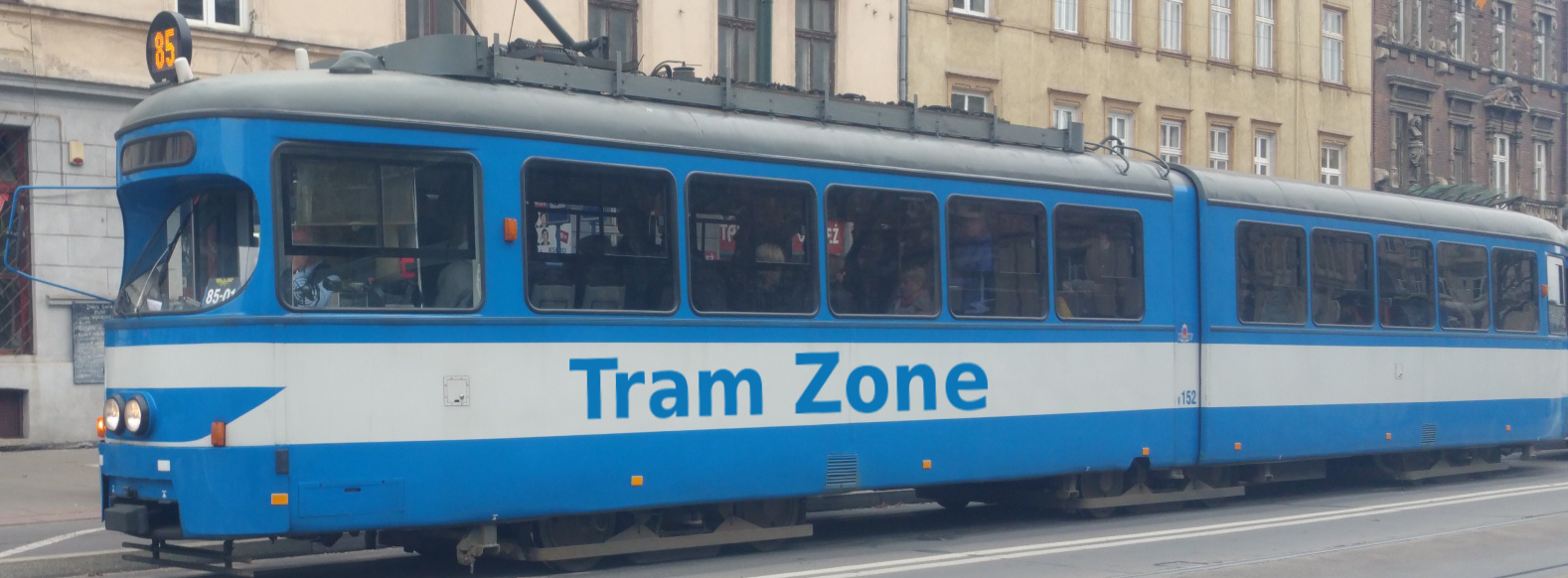
Tram line 5 in Melbourne
Tram line 5 runs between Melbourne University and Burke Rd/Wattletree Rd in Malvern East, with a total of 41 stops.
The line connects the University of Melbourne and the northern city centre with the central business district, the Arts Precinct, the Shrine of Remembrance, ANZAC Station and the residential areas of Melbourne's inner southeast, as well as St Kilda Junction, central Malvern and Cabrini Hospital.
The Line 5 designation was introduced in 1929, with the route being transferred from Wellington Street to the new Queens Way alignment in 1968 and operating permanently to Melbourne University since 1996. The full route has operated all day and during the evening since October 2023.
From Melbourne University, Line 5 runs south along Swanston Street, stopping at RMIT University and Melbourne Central before continuing through the central business district past Bourke Street Mall and City Square. It passes Federation Square, crosses the River Yarra and follows St Kilda Road through the Arts Precinct, past the Shrine of Remembrance and ANZAC Station.
The line then continues along St Kilda Road through the inner southern suburbs to St Kilda Junction. From St Kilda Junction, it follows Queens Way into Windsor and continues east along Dandenong Road, passing Chapel Street and serving the residential areas bordering Prahran, St Kilda East and Armadale.
At the junction with Wattletree Road, Line 5 separates from the Dandenong Road corridor and continues east through Armadale, Malvern and Malvern East. It crosses the Glenferrie Road tram corridor, passes Cabrini Hospital and terminates on Wattletree Road near Burke Road.
Below is a stop-by-stop description of the route of tram line 5 in Melbourne. Times shown are an estimate of the time taken to travel between each stop.
The following icons are shown next to the name of the stop to indicate interchanges with other routes
- Interchange for other tram routes.
- Interchange on to bus routes.
- Interchange on to train routes.
- Interchange on to metro/subway/underground routes.
- Interchange on to boat routes.
- Interchange for airport.
- Interchange for a cable-car/urban cable-car service.
- Interchange for a lift.
Melbourne University/Swanston St is a major public transport interchange in Carlton, named after the adjacent University of Melbourne. Its accessible island platform serves both through trams and services terminating on three shunt tracks.
The stop is also served by tram lines 1, 3, 6, 16, 64, 67 and 72 and provides connections to bus services.
RMIT University/Swanston St is a major public transport interchange in Melbourne city centre. It is named after RMIT University, whose City campus surrounds the stop, and is adjacent to the Franklin Street entrance to State Library railway station.
The stop is also served by tram lines 1, 3, 6, 16, 64, 67 and 72 and provides connections to rail services.
Melbourne Central Station/Swanston St is a major public transport interchange in Melbourne city centre, named after the adjoining Melbourne Central railway station. It also provides access to State Library railway station through the connected underground station complex.
The stop is also served by tram lines 1, 3, 6, 16, 64, 67 and 72 and provides connections to rail services.
Bourke Street Mall/Swanston St is a tram interchange in Melbourne city centre, located at the junction of Swanston Street and Bourke Street Mall. It takes its name from the pedestrianised shopping street through which trams run.
The stop is also served by tram lines 1, 3, 6, 16, 64, 67, 72, 86 and 96.
City Square/Swanston St is a major public transport interchange in Melbourne city centre, named after the adjacent City Square. It is located beside the main entrance to Town Hall railway station.
The stop is also served by tram lines 1, 3, 6, 16, 64, 67 and 72 and provides connections to rail services.
Federation Square/Swanston St is a major public transport interchange in Melbourne city centre, named after the adjacent Federation Square. It is opposite Flinders Street railway station and beside an entrance to Town Hall railway station.
The stop is also served by tram lines 1, 3, 6, 16, 64, 67 and 72 and provides connections to rail services.
Arts Precinct/St Kilda Rd is a platform tram stop at the northern end of Melbourne’s Arts Precinct. It takes its name from the surrounding concentration of cultural institutions, including Arts Centre Melbourne and the National Gallery of Victoria.
The stop is also served by tram lines 1, 3, 6, 16, 64, 67 and 72.
Grant St-Police Memorial/St Kilda Rd is a tram stop in the central reservation of St Kilda Road. It is named after nearby Grant Street and the Victoria Police Memorial, which commemorates Victoria Police officers killed in the line of duty.
The stop is also served by tram lines 3, 6, 16, 64, 67 and 72.
Anzac Station/St Kilda Rd is a major public transport interchange on St Kilda Road, providing direct access to the underground railway station. The tram stop opened in December 2022 as a replacement for the former Domain Interchange and takes its name from the adjoining station.
The stop is also served by tram lines 3, 6, 16, 58, 64, 67 and 72 and provides connections to bus and rail services.
Queens Way is a tram stop in Windsor, situated in the central reservation of Queens Way near Upton Road. It takes its name from the road on which it is located.
The stop is also served by tram line 64.
Hornby St/Dandenong Rd is a tram stop in Windsor, located in the central reservation of Dandenong Road. It takes its name from the junction with Hornby Street.
The stop is also served by tram line 64.
The Avenue/Dandenong Rd is a tram stop in Windsor, located in the central reservation of Dandenong Road. It takes its name from the junction with The Avenue.
The stop is also served by tram line 64.
Williams Rd/Dandenong Rd is a tram stop in Prahran, located in the central reservation of Dandenong Road. It takes its name from the junction with Williams Road.
The stop is also served by tram line 64 and provides connections to bus services.
Closeburn Ave/Dandenong Rd is a tram stop in St Kilda East, located in the central reservation of Dandenong Road. The eastbound platform takes its name from nearby Closeburn Avenue, while the westbound platform is called Alexandra St/Dandenong Rd after the adjoining street on the opposite side of the road.
The stop is also served by tram line 64.
Lansdowne Rd/Dandenong Rd is a tram stop in St Kilda East, located in the central reservation of Dandenong Road. It takes its name from the junction with Lansdowne Road.
The stop is also served by tram line 64.
Orrong Rd/Dandenong Rd is a tram stop in Armadale, located in the central reservation of Dandenong Road. It takes its name from the junction with Orrong Road.
The stop is also served by tram line 64 and provides connections to bus services.
Wattletree Rd/Dandenong Rd is a tram stop in Armadale, located in the central reservation of Dandenong Road immediately west of its junction with Wattletree Road. It takes its name from that junction.
The stop is also served by tram line 64.
Armadale St/Wattletree Rd is a tram stop in Armadale, located on Wattletree Road. It takes its name from the junction with Armadale Street.
Kooyong Rd/Wattletree Rd is a tram stop in Armadale, located on Wattletree Road. It takes its name from the junction with Kooyong Road.
The stop provides connections to bus services.
Egerton Rd/Wattletree Rd is a tram stop in Armadale, located on Wattletree Road. It takes its name from the junction with Egerton Road.
Duncraig Ave/Wattletree Rd is a tram stop in Armadale, located on Wattletree Road. It takes its name from the junction with Duncraig Avenue.
Glenferrie Rd/Wattletree Rd and Wattletree Rd/Glenferrie Rd is an on-street tram interchange in Malvern. The platforms on Wattletree Road are called Glenferrie Rd/Wattletree Rd, while those on Glenferrie Road are called Wattletree Rd/Glenferrie Rd.
The stop is also served by tram line 16.
Nicholls St/Wattletree Rd is an on-street tram stop in Malvern. It takes its name from the junction of Nicholls Street and Wattletree Road.
Cabrini Hospital/Wattletree Rd is an on-street tram stop in Malvern, located outside Cabrini Malvern hospital. It takes its name from the hospital and Wattletree Road.
Dixon St/Wattletree Rd is an on-street tram stop in Malvern. It takes its name from the junction of Dixon Street and Wattletree Road.
Tooronga Rd/Wattletree Rd is an on-street tram stop in Malvern East. It takes its name from the junction of Tooronga Road and Wattletree Road.
The stop provides connections to bus services.
Vincent St/Wattletree Rd is an on-street tram stop in Malvern East. The eastbound platform takes its name from Vincent Street which joins Wattletree Rd here, whilst the westbound platform is called Anderson St/Wattletree Rd after the street on the opposite side of the road.
Erica Ave/Wattletree Rd is an on-street tram stop in Malvern East. The eastbound platform takes its name from Erica Avenue which joins Wattletree Road, while the westbound platform is called Nott St/Wattletree Rd after the street on the opposite side of the road.
Burke Rd/Wattletree Rd is an on-street tram terminus in Malvern East. It is situated on Wattletree Road near its junction with Burke Road, from which it takes its name.
The stop provides connections to bus services.