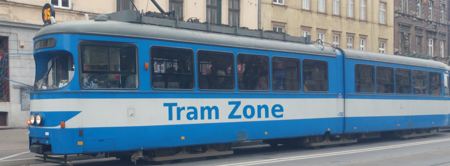
Tram line 48 in Melbourne
Tram line 48 runs between North Balwyn and Victoria Harbour in Docklands, serving 47 stops.
The line connects the residential districts of North Balwyn and Kew East with central Kew, the Bridge Road shopping district, Richmond, the Melbourne Cricket Ground, the eastern side of the central business district, Collins Street, Southern Cross Station and Victoria Harbour.
Line 48 was extended into Docklands in stages. It was rerouted through Collins Street in 2009 and extended to its present Victoria Harbour terminus in 2014.
From its terminus at Balwyn Road and Doncaster Road, Line 48 runs west through North Balwyn before joining High Street. It continues through Kew East, passing North Balwyn Shopping Centre, Kew High School, Harp Village, Victoria Park and Kew Cemetery on its way to Kew Junction.
The route continues through central Kew and follows Church Street to Hawthorn Bridge. After crossing the River Yarra, it runs west along Bridge Road through Richmond, serving the Bridge Road shopping district, Richmond Town Hall and Epworth Hospital.
West of Punt Road, Line 48 follows Wellington Parade through East Melbourne, serving the Melbourne Cricket Ground and Jolimont Station. It then turns onto Spring Street and enters Collins Street.
The line runs west along Collins Street through the central business district, serving Melbourne Town Hall, the Elizabeth Street and William Street tram corridors and Southern Cross Station. It continues into Docklands through Batman's Hill and along Collins Street before terminating at Bourke Street in Victoria Harbour.
Below is a stop-by-stop description of the route of tram line 48 in Melbourne. Times shown are an estimate of the time taken to travel between each stop.
The following icons are shown next to the name of the stop to indicate interchanges with other routes
- Interchange for other tram routes.
- Interchange on to bus routes.
- Interchange on to train routes.
- Interchange on to metro/subway/underground routes.
- Interchange on to boat routes.
- Interchange for airport.
- Interchange for a cable-car/urban cable-car service.
- Interchange for a lift.
Balwyn Rd/Doncaster Rd is a tram terminus on Doncaster Road in Balwyn North, near the junction with Balwyn Road.
The stop provides connections to bus services.
Dight Ave/Doncaster Rd is a stop on Doncaster Road in Balwyn North, near the junction with Dight Avenue and Hill Road. The stop in the opposite direction is called Hill Rd/Doncaster Rd.
Buchanan Ave/Doncaster Rd is a stop on Doncaster Road in Balwyn North, near the junction with Buchanan Avenue. The stop in the opposite direction is called Cityview Rd/Doncaster Rd.
The stop provides connections to bus services.
Osburn Ave/Doncaster Rd is a stop on Doncaster Road in Balwyn North, near the junction with Osburn Avenue. The stop in the opposite direction is called Sunburst Ave/Doncaster Rd.
North Balwyn Shopping Centre/Doncaster Rd is a stop on Doncaster Road in Balwyn North, near the junction with Marwal Avenue.
Wattle Ave/ Doncaster Rd is a stop on Doncaster Road in Balwyn North, near the junction with Wattle Avenue.
The stop provides connections to bus services.
Burke Rd/Doncaster Rd is a stop on Doncaster Road in Balwyn North, near the junction with Burke Road, Kilby Road and High Street. The stop in the opposite direction is on the other side of the junction and called High St/Doncaster Rd.
The stop provides connections to bus services.
Kew High School/High St is a stop on High Street in Kew East, next to Kew High School.
Woodlands Ave/High St is a stop on High Street in Kew East, near the junction with Woodlands Avenue. The stop in the opposite direction is called Irymple Ave/Doncaster Rd.
Station St/High St is a stop on High Street in Kew East, near the junction with Station Street. The stop in the opposite direction is called Clyde St/High St.
Harp Village/ High St is a stop on High Street in Kew East, near the junction with Westbrook Street.
Harp Rd/High St is a stop on High Street in Kew East, near the junction with Harp Road.
The stop provides connections to bus services.
Victoria Park/High St is a stop on High Street in Kew East, next to Victoria Park.
Kew Cemetery/High St is a stop on High Street in Kew, near the junction with Hummingbird Lane and next to Kew Cemetery.
Parkhill Rd/High St is a stop on High Street in Kew, near the junction with Parkhill Road.
Charles St/High St is a stop on High Street in Kew, near the junction with Charles Street. The stop in the opposite direction is called Cobden St/High St.
Union St/High St is a stop on High Street in Kew, near the junction with Union Street. The stop in the opposite direction is called Pakington St/High St.
The stop provides connections to bus services.
Cotham Rd/High St is a stop on High Street in Kew, near the junction with Cotham Road. The stop in the opposite direction is called Kew Shopping Centre/High St.
The stop provides connections to bus services.
Kew Junction/High St is a stop on High Street in Kew, near the junction with Princess Street.
The stop is also served by tram line 109 and provides connections to bus services.
Stevenson St/High St is a stop on High Street in Kew, near the junction with Stevenson Street.
The stop is also served by tram line 109.
Barkers Rd/High St is a stop on High Street in Kew, near the junction with Barkers Road. The stop in the opposite direction is called Barkers Rd/Church St as it is on Church Street.
The stop is also served by tram line 109.
Brook St/Church St is a stop on Church Street in Hawthorne, near the junction with Brook Street.
Hill St/Church St is a stop on Church Street in Hawthorne, near the junction with Hill Street. The stop in the opposite direction is called Grattan St/Church St.
Hawthorn Bridge/Bridge Rd is a stop on Bridge Road in Hawthorne, near the junction with Burwood Rd.
The stop is also served by tram line 75.
Yarra Bvd/Bridge Rd is a stop on Bridge Road in Richmond, near the junction with Westbank Terrace.
The stop is also served by tram line 75.
Burnley St/Bridge Rd is a stop on Bridge Road in Richmond, near the junction with Burnley Street.
The stop is also served by tram line 75.
Coppin St/Bridge Rd is a stop on Bridge Road in Richmond, near the junction with Coppin Street.
The stop is also served by tram line 75.
Richmond Town Hall/Bridge Rd is a stop on Bridge Road in Richmond, near the junction with Gleadell Street and nexxt to Richmond Town Hall.
The stop is also served by tram line 75.
Waltham St/Bridge Rd is a stop on Bridge Road in Richmond, near the junction with Waltham Street. The stop in the opposite direction is called Bosisto St/Church St.
The stop is also served by tram line 75.
Epworth Hospital/Bridge Rd is a stop on Bridge Road in Richmond, next to Epworth Richmond Hospital.
The stop is also served by tram line 75.
Punt Rd/Bridge Rd is a stop on Bridge Road in Richmond, near the junction with Punt Road. The stop in the opposite direction is called Punt Rd/Wellington Pde.
The stop is also served by tram line 75 and provides connections to bus services.
Simpson St/Wellington Pde is a stop on Wellington Parade in East Melbourne, near the junction with Simpson Street.
The stop is also served by tram line 75.
Jolimont Station-MCG/Wellington Pde is a stop on Wellington Parade in East Melbourne, next to Jolimont-MCG Station and close to the Melbourne Cricket Ground.
The stop is also served by tram line 75 and provides connections to rail services.
Jolimont Rd/Wellington Pde is a stop on Wellington Parade in East Melbourne, near the junction with Jolimont Road.
The stop is also served by tram line 75.
Lansdowne St/Wellington Pde is a stop on Wellington Parade in East Melbourne, near the junction with Lansdowne Street.
The stop is also served by tram line 75.
Elizabeth St/Collins St and Collins St/Elizabeth St is a tram interchange in central Melbourne at the junction of Elizabeth Street and Collins Street. The platforms on Collins Street are named Elizabeth St/Collins St, whilstthose on Elizabeth Street are named Collins St/Elizabeth St.
William St/Collins St and Collins St/William St is a tram interchange in central Melbourne at the junction of William Street and Collins Street. The platforms on Collins Street are named William St/Collins St, whilst those on William Street are named Collins St/William St.
Southern Cross Station/Collins St is a tram stop in Docklands and a major public transport interchange. It is located on Collins Street immediately west of Spencer Street, beside Southern Cross railway station and its associated coach terminal.
The stop is also served by tram line 11 and provides connections to bus and rail services.
Batman's Hill/Collins St is a tram stop in Docklands, located on Collins Street near Batman’s Hill Drive. It takes its name from Batman’s Hill, a former local landmark named after Melbourne co-founder John Batman and levelled during the nineteenth-century development of the railway yards.
The stop is also served by tram line 11 and provides connections to bus services.
Harbour Esp/Collins St is a tram stop in Docklands, located on Collins Street at its junction with Harbour Esplanade.
The stop is also served by tram line 11.
Merchant St/Collins St is a tram stop in Docklands, located in the central reservation of Collins Street near its junction with Merchant Street. It was previously known as Collins Landing.
The stop is also served by tram line 11.
Bourke St/Collins St is a tram terminus in Docklands, located near the western ends of Bourke Street and Collins Street in the Victoria Harbour precinct. It was previously called Victoria Harbour Docklands.
The stop is also served by tram line 11.