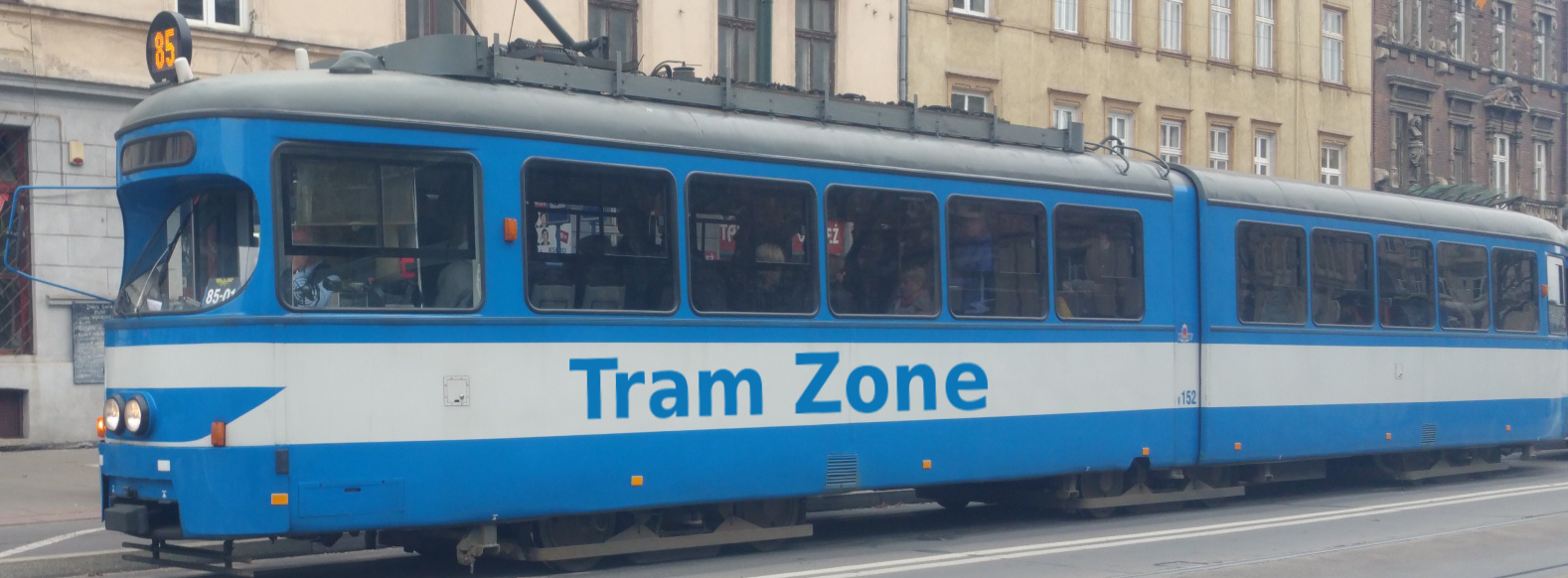
Tram line L4 in Sydney
The L4 Westmead & Carlingford Line forms the first stage of the Parramatta Light Rail network. It runs between Westmead and Carlingford via the Westmead health precinct, Parramatta city centre, North Parramatta and Camellia. The line opened to passengers on 20 December 2024 and is physically separate from Sydney’s L1, L2 and L3 light-rail routes.
Starting at Westmead, line L4 follows Hawkesbury Road through the Westmead health precinct, serving Westmead Hospital and Children’s Hospital. It then continues through the Cumberland precinct to Ngara before running through North Parramatta via Benaud Oval and Fennell Street to Prince Alfred Square.
From Prince Alfred Square, the route continues through Parramatta city centre, serving Church Street and Parramatta Square before running through Robin Thomas and Tramway Avenue.
Beyond Tramway Avenue, line L4 joins the corridor of the former Carlingford railway line. It continues through Rosehill Gardens, Yallamundi, Dundas and Telopea before reaching its northern terminus at Carlingford.
Below is a stop-by-stop description of the route of tram line L4 in Sydney. Times shown are an estimate of the time taken to travel between each stop.
The following icons are shown next to the name of the stop to indicate interchanges with other routes
- Interchange for other tram routes.
- Interchange on to bus routes.
- Interchange on to train routes.
- Interchange on to metro/subway/underground routes.
- Interchange on to boat routes.
- Interchange for airport.
- Interchange for a cable-car/urban cable-car service.
- Interchange for a lift.
Westmead is the western terminus of the L4 Westmead & Carlingford Line and is located on Hawkesbury Road beside Westmead railway station. The Westmead campus of Western Sydney University and the local shopping centre are also nearby.
The stop provides connections to rail services.
Westmead Hospital tram stop is located on Hawkesbury Road directly outside the main entrance to Westmead Hospital, within the wider Westmead health precinct.
Children’s Hospital tram stop is located on Hainsworth Street directly outside The Children’s Hospital at Westmead.
The stop provides connections to bus services.
Ngara tram stop is located on Factory Street within the Cumberland Hospital precinct. Its name comes from a Dharug word meaning “listen, hear, think”. The historic Parramatta Female Factory is also nearby.
Benaud Oval tram stop is located on Church Street at Factory Street. It takes its name from Richie Benaud Oval in nearby Belmore Park, which honours the celebrated Australian cricketer and commentator who grew up in Parramatta.
Fennell Street tram stop is located on Church Street at its junction with Fennell Street, serving a mainly residential area immediately north of central Parramatta.
Prince Alfred Square tram stop is located on Church Street beside the historic public park from which it takes its name. St Patrick’s Cathedral and Riverside Theatres are also nearby.
Church Street tram stop is located within the pedestrianised restaurant and café precinct along Church Street, commonly known as Eat Street. The Parramatta River and heritage-listed Lennox Bridge are a short distance to the north.
Parramatta Square tram stop is located on Macquarie Street at the eastern end of the Parramatta Square civic and commercial precinct. A pedestrian route through the square connects the stop with Parramatta railway station and its adjoining bus interchange.
The stop provides connections to bus and rail services.
Robin Thomas tram stop is located at the junction of Macquarie Street and Harris Street beside Robin Thomas Reserve. The reserve commemorates local businessman and former Parramatta mayor Alfred Robert Cayley “Robin” Thomas.
Tramway Avenue tram stop is located on the street from which it takes its name. The stop marks the Parramatta end of a shared walking and cycling path that follows the light-rail corridor towards Carlingford.
Rosehill Gardens tram stop is located on Grand Avenue North in Camellia, a short walk from Rosehill Gardens Racecourse. The tracks through the stop follow part of the former Carlingford railway alignment, which was converted for light-rail operation.
Yallamundi tram stop is located on Brodie Street in Rydalmere, on the site of the former Rydalmere railway station. Its name is a Dharug word reflecting “storytelling” and recognises the connection with the nearby Western Sydney University Parramatta South campus.
Dundas tram stop is located near Kissing Point Road on the site of the former Dundas railway station. The reconstructed heritage-listed station building has been retained beside the modern light-rail platforms.
Telopea tram stop is located beside Adderton Road on the site of the former Telopea railway station, which opened in 1925. The stop serves the surrounding residential area.
The stop provides connections to bus services.
Carlingford is the northern terminus of the L4 Westmead & Carlingford Line and is located on Lloyds Avenue, on the site of the former Carlingford railway station. The railway closed in January 2020 to allow the corridor to be converted for light-rail operation.