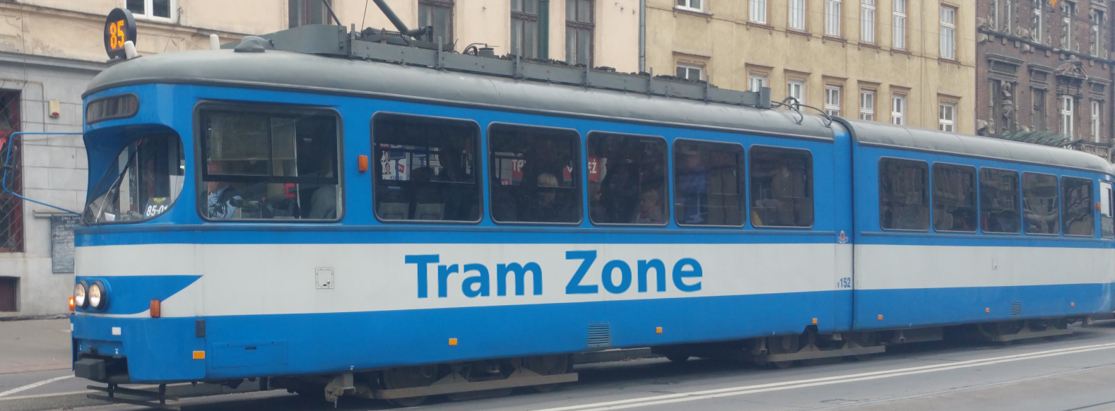
Tram line L1 in Sydney
The L1 Dulwich Hill Line in Sydney runs between Central Grand Concourse in the city centre and Dulwich Hill in the Inner West. The route travels through Haymarket, Darling Harbour, Pyrmont, Glebe, Lilyfield and Leichhardt.
Starting at Central Grand Concourse, line L1 runs through Haymarket via Capitol Square and Paddy's Markets before turning towards Darling Harbour. It continues through Exhibition Centre and Convention, then serves Pyrmont Bay, The Star and John Street Square before reaching Bank Street in Pyrmont.
From Bank Street, the line continues through Wentworth Park and Glebe to Jubilee Park and Rozelle Bay before reaching Lilyfield. Beyond Lilyfield, the route follows a former freight railway corridor through Leichhardt North, Hawthorne, Marion, Taverners Hill, Lewisham West, Waratah Mills, Arlington and Dulwich Grove before reaching its western terminus at Dulwich Hill.
Below is a stop-by-stop description of the route of tram line L1 in Sydney. Times shown are an estimate of the time taken to travel between each stop.
The following icons are shown next to the name of the stop to indicate interchanges with other routes
- Interchange for other tram routes.
- Interchange on to bus routes.
- Interchange on to train routes.
- Interchange on to metro/subway/underground routes.
- Interchange on to boat routes.
- Interchange for airport.
- Interchange for a cable-car/urban cable-car service.
- Interchange for a lift.
Central Grand Concourse is the city terminus of the L1 Dulwich Hill Line and is located beneath the Eddy Avenue colonnade beside the Grand Concourse of Sydney Central Station. The stop occupies part of the route once used by the former tram loop around the station. The separate Central Chalmers Street tram stop can be reached through the station.
The stop provides connections to bus and rail services.
Capitol Square is an intermediate light rail stop on Hay Street in Haymarket, beside the historic Capitol Theatre, one of Australia’s surviving atmospheric theatres.
Paddy’s Markets tram stop is located on Hay Street at its junction with Quay Street, beside the historic Paddy’s Markets and Market City complex. The markets are among Australia’s oldest continuously operating fresh-food and general-goods markets and form an important part of Sydney’s Chinatown precinct.
Exhibition Centre tram stop is located on Darling Drive in Darling Harbour, providing access to the exhibition halls of the International Convention Centre Sydney and nearby Tumbalong Park.
Convention tram stop is located on Darling Drive in Darling Harbour, beside the International Convention Centre Sydney and close to Cockle Bay.
Pyrmont Bay is a covered tram stop beneath an apartment building in Pyrmont. It is located close to the Australian National Maritime Museum, the western end of Pyrmont Bridge and the Darling Harbour waterfront.
The stop provides connections to bus services.
The Star is a covered tram stop located within the basement of The Star Sydney casino and entertainment complex in Pyrmont, providing direct access to its hotels, restaurants and theatres. The stop was formerly known as Star City, reflecting the complex’s previous name.
The stop provides connections to bus services.
John Street Square is a partly covered tram stop set in a deep sandstone cutting between two tunnels in Pyrmont. Apartments and offices have been constructed above and around the former freight railway corridor.
The stop provides connections to bus services.
Bank Street is an intermediate tram stop set in a cutting beside the Western Distributor in Pyrmont. It was known as Fish Market until January 2026, when it was renamed because the new Sydney Fish Market is more conveniently served by Wentworth Park.
The stop provides connections to bus services.
Wentworth Park tram stop is located beside the park from which it takes its name and is the closest L1 stop to the new Sydney Fish Market at Blackwattle Bay. It was the western terminus when Sydney’s modern light-rail system opened in 1997, before the route was extended to Lilyfield in 2000.
Glebe tram stop is located at Lower Avon Street, beside Bridge Road and the eastern portal of the heritage-listed Glebe railway tunnel. A pedestrian bridge across Bridge Road provides access to one of the platforms.
Jubilee Park tram stop is located beside Jubilee Park and the Tramsheds dining and retail complex, housed within the former Rozelle Tram Depot. The stop lies between the western portal of the heritage-listed Glebe railway tunnel and the Jubilee Park railway viaduct.
Rozelle Bay tram stop is located on an embankment above The Crescent at the head of Rozelle Bay. A pedestrian and cycle bridge connects the stop with Rozelle Parklands, created on the former Rozelle rail yards as part of the wider Rozelle Interchange project.
Lilyfield tram stop is set within a cutting beneath City West Link and has the only island platform on the L1 Dulwich Hill Line. Access from Catherine Street is by stairs or lift. The stop was the western terminus from 2000 until the route was extended to Dulwich Hill in 2014.
The stop provides connections to bus services.
Leichhardt North tram stop is located beside City West Link in Lilyfield and has staggered platforms with entrances at either end. It provides access to nearby Leichhardt Oval, a longstanding venue for rugby league and football.
The stop provides connections to bus services.
Hawthorne tram stop is located beside Hawthorne Canal on the boundary between Leichhardt and Haberfield. A pedestrian bridge crosses the canal beside the stop, which also provides direct access to the GreenWay walking and cycling corridor.
Marion tram stop is located beside Marion Street on the boundary between Leichhardt and Haberfield. The stop is close to Lambert Park football ground and the MarketPlace Leichhardt shopping centre.
The stop provides connections to bus services.
Taverners Hill tram stop is located on an embankment beside Parramatta Road and Hawthorne Canal. A footbridge across Parramatta Road connects with the citybound platform, while the GreenWay walking and cycling route passes alongside the stop.
The stop provides connections to bus services.
Lewisham West tram stop is located beside Hudson Street on the boundary between Lewisham and Summer Hill, with the GreenWay passing directly alongside it. The redeveloped former Mungo Scott flour mill site lies beside the stop, while Lewisham railway station is approximately 400 metres away.
The stop provides connections to bus and rail services.
Waratah Mills tram stop takes its name from the former Waratah Flour Mills across Davis Street. The 1920s mill buildings and silos have been converted into apartments and remain a prominent local landmark. The GreenWay passes beside the stop.
Arlington tram stop is located beside Constitution Road and Johnson Park in Dulwich Hill. It takes its name from the nearby Arlington Recreation Reserve, an all-weather football ground, while Johnson Park contains one of Sydney’s few surviving examples of its distinctive rocket-shaped playground equipment.
The stop provides connections to bus services.
Dulwich Grove tram stop is located in a cutting beneath New Canterbury Road in Dulwich Hill, with lift and stair access between the platforms and the road above. The GreenWay walking and cycling route passes alongside the stop and beneath New Canterbury Road.
The stop provides connections to bus services.
Dulwich Hill is the western terminus of the L1 Dulwich Hill Line and opened in 2014 when light rail was extended from Lilyfield. A footbridge connects the stop with Dulwich Hill Station, which is being converted for Sydney Metro Southwest services.