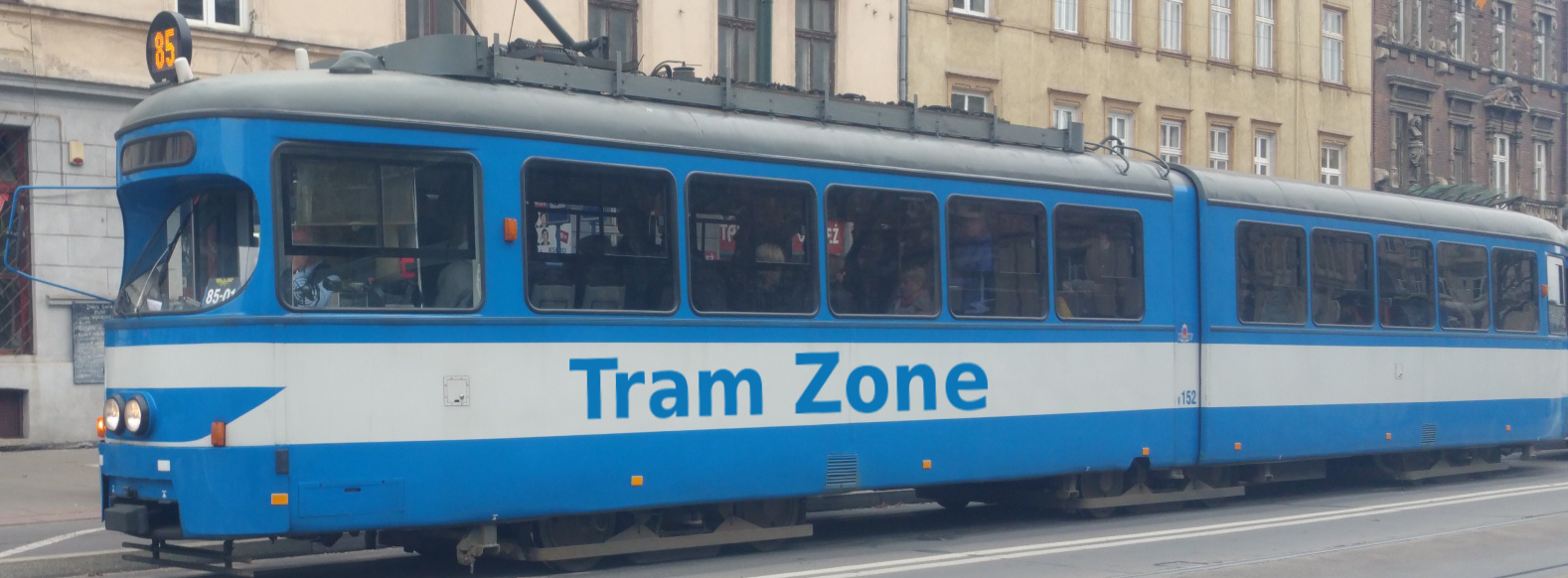
Tram line G:link in Gold Coast
The G:link light rail line on the Gold Coast runs for approximately 27 kilometres between Helensvale in the north and Burleigh Heads in the south. It serves Gold Coast University Hospital, Griffith University, Southport, Surfers Paradise, Broadbeach, Mermaid Beach and Miami. The complete journey takes approximately 63 minutes.
Starting at Helensvale, G:link runs south alongside the Gold Coast railway before turning east through Parkwood and Parkwood East. It then serves Gold Coast University Hospital and Griffith University before crossing Smith Street Motorway and Loders Creek on an elevated viaduct. The line passes the light-rail depot before continuing through Queen Street and Nerang Street to Southport.
From Southport, the line continues through Southport South and Broadwater Parklands before crossing the Nerang River to Main Beach. It then runs south through Surfers Paradise, serving Surfers Paradise North, Cypress Avenue, Cavill Avenue, Surfers Paradise and Northcliffe before reaching Florida Gardens and Broadbeach North.
From Broadbeach North, G:link continues through Broadbeach South and follows the Gold Coast Highway through Mermaid Beach, Mermaid Beach South and Nobby Beach. It then serves Miami North, Miami, Christine Avenue and Second Avenue before reaching its southern terminus at Burleigh Heads.
Below is a stop-by-stop description of the route of tram line G:link in Gold Coast. Times shown are an estimate of the time taken to travel between each stop.
The following icons are shown next to the name of the stop to indicate interchanges with other routes
- Interchange for other tram routes.
- Interchange on to bus routes.
- Interchange on to train routes.
- Interchange on to metro/subway/underground routes.
- Interchange on to boat routes.
- Interchange for airport.
- Interchange for a cable-car/urban cable-car service.
- Interchange for a lift.
Helensvale is the northern terminus of the G:link light rail line and forms a major interchange with suburban rail and local bus services. Light rail reached the station in December 2017 when the Stage 2 extension opened from Gold Coast University Hospital.
The stop provides connections to bus and rail services.
Parkwood tram stop is located beside Smith Street at Napper Road and includes a park-and-ride facility with approximately 1,000 spaces. A pedestrian overpass across Smith Street connects the car park with the tram platforms.
The stop provides connections to bus services.
Parkwood East tram stop is located on reserved light-rail infrastructure between the Smith Street Motorway and the surrounding Parkwood residential area. A shared walking and cycling path passes the stop and provides access towards Parkwood Village.
The stop provides connections to bus services.
Gold Coast University Hospital is the only underground station on the G:link network. It is located beneath Parklands Drive directly beside the hospital and also serves the northern side of Griffith University’s Gold Coast campus.
The stop provides connections to bus services.
Griffith University tram stop is located on Parklands Drive within the university’s Gold Coast campus. It serves the central part of the campus and forms one of its principal public transport access points.
The stop provides connections to bus services.
Queen Street tram stop is located in the centre of Queen Street in western Southport, serving the surrounding residential neighbourhoods. It lies between the G:link depot and the centre of Southport.
The stop provides connections to bus services.
Nerang Street tram stop is located in the centre of Nerang Street beside the Southport health precinct. Queen Street Village and the surrounding residential and commercial area are also nearby.
The stop provides connections to bus services.
Southport tram stop is located within the pedestrianised section of Nerang Street in the centre of Southport. It forms a major public transport interchange and is close to the Australia Fair shopping centre and the Southport campus of TAFE Queensland.
The stop provides connections to bus services.
Southport South tram stop is located in the centre of Scarborough Street, serving the southern part of Southport town centre. The Southport Chinatown precinct, Australia Fair shopping centre and the local RSL club are nearby.
Broadwater Parklands tram stop is located on the northern side of Queen Street beside the parkland from which it takes its name. It provides direct access to the Southport waterfront and the recreational and event spaces extending along the Broadwater.
Main Beach tram stop is located beside the Gold Coast Highway at the western end of Tedder Avenue. It serves the surrounding residential area, with the Tedder Avenue dining precinct and Main Beach waterfront within walking distance.
Surfers Paradise North tram stop is located on Surfers Paradise Boulevard near Ocean Avenue, serving the northern part of the resort district. Surfers Paradise Beach and Macintosh Island Park are within walking distance.
The stop provides connections to bus services.
Cypress Avenue tram stop is located on Surfers Paradise Boulevard near its junction with Cypress Avenue. It serves the northern part of the central shopping and entertainment district, with the Chevron Renaissance complex and Surfers Paradise Beach nearby.
The stop provides connections to bus services.
Cavill Avenue tram stop is located on Surfers Paradise Boulevard at the western end of the pedestrianised Cavill Mall, in the heart of the suburb’s shopping and entertainment district. Circle on Cavill is beside the stop, while Paradise Centre and Surfers Paradise Beach lie farther along Cavill Avenue.
Surfers Paradise tram stop is located on Surfers Paradise Boulevard between Clifford Street and Hamilton Avenue. It stands directly outside the Q1 tower, which contains the SkyPoint Observation Deck, with Surfers Paradise Beach also nearby.
Northcliffe tram stop is located on Surfers Paradise Boulevard in the southern part of Surfers Paradise. It provides access to Northcliffe Beach and the nearby Northcliffe Surf Life Saving Club.
Florida Gardens tram stop is located in the centre of the Gold Coast Highway, serving the northern part of Broadbeach. The nearby Cascade Gardens contain the Kokoda Memorial Walk and the Queensland Korean War Memorial, while the beach is also within walking distance.
Broadbeach North tram stop is located in the centre of the Gold Coast Highway directly outside the Gold Coast Convention and Exhibition Centre. The Star Gold Coast and Broadbeach’s dining, retail and beachfront precincts are also nearby.
Broadbeach South is a major tram and bus interchange located beside the Gold Coast Highway, close to Pacific Fair shopping centre. It was the southern terminus of the G:link network from its opening in 2014 until the Stage 3 extension to Burleigh Heads opened in August 2026.
The stop provides connections to bus services.
Mermaid Beach tram stop is located in the centre of the Gold Coast Highway near Crescent Avenue and Montana Road. It serves the northern part of Mermaid Beach, with local cafés and restaurants, Putt Putt Mermaid Beach and the beachfront within walking distance.
Mermaid Beach South tram stop is located in the centre of the Gold Coast Highway immediately south of Markeri Street. It serves the southern part of Mermaid Beach, with local cafés and restaurants, Mermaid Beach Bowls Club and the beachfront within walking distance.
Nobby Beach tram stop is located in the centre of the Gold Coast Highway near Lavarack Road and Chairlift Avenue. It serves the surrounding dining and entertainment precinct, with the revitalised pedestrian area and Nobby Beach itself within walking distance.
Miami North tram stop is located in the centre of the Gold Coast Highway between Oak Avenue and Paradise Avenue. It serves the northern part of Miami, with Miami Marketta and the beachfront within walking distance.
Miami tram stop is located in the centre of the Gold Coast Highway, north of Hythe Street. It serves the surrounding beachfront neighbourhood, with Miami Beach, Mick Schamburg Park and the North Burleigh lookout within walking distance.
Christine Avenue tram stop is located in the centre of the Gold Coast Highway at its junction with Mountain View Avenue, approximately 80 metres north of Christine Avenue. It serves Miami One shopping centre and the cafés, bakeries and breweries along Christine Avenue, with North Burleigh Beach nearby.
The stop provides connections to bus services.
Second Avenue tram stop is located in the centre of the Gold Coast Highway near Second Avenue, at the northern edge of central Burleigh Heads. It provides access to Burleigh Beach, the Gold Coast Oceanway and the beachfront market area.
Burleigh Heads is the southern terminus of the G:link light rail line and is located in the centre of the Gold Coast Highway immediately south of Goodwin Terrace. It forms a tram and bus interchange serving central Burleigh Heads, with its shopping and dining precinct, Burleigh Beach and Burleigh Head National Park nearby.
The stop provides connections to bus services.