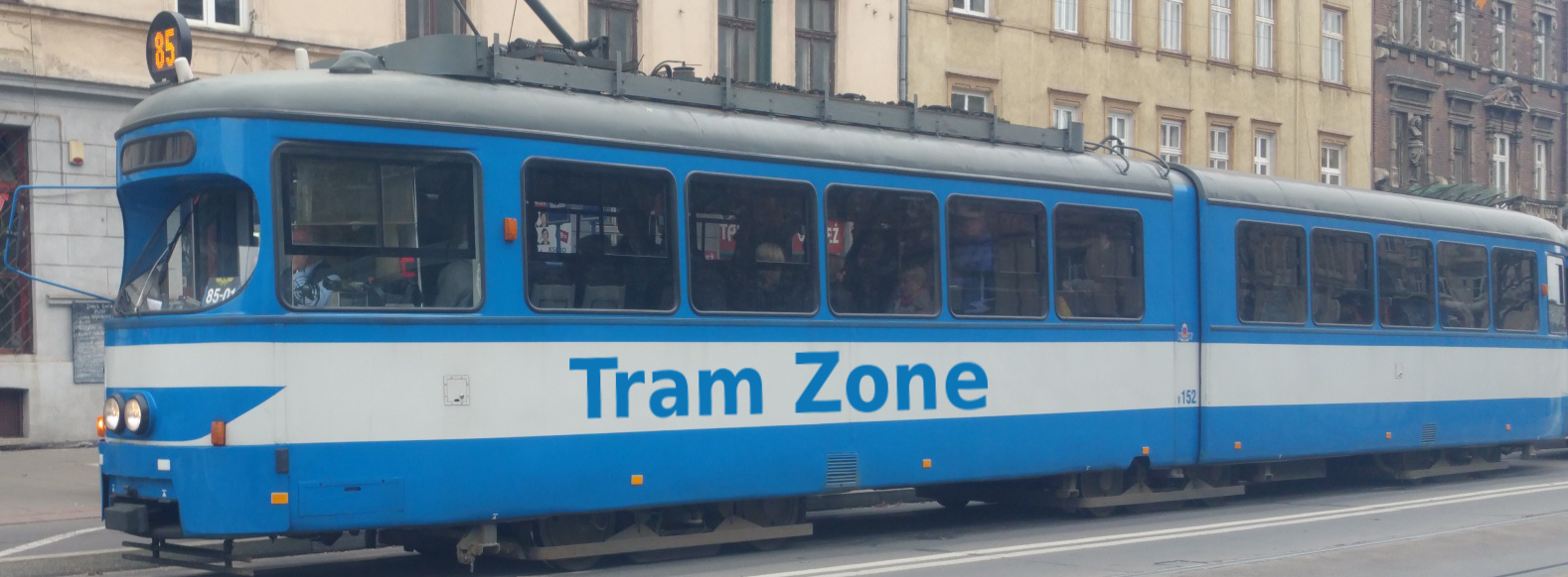
Tram line R1 in Canberra
The R1 light-rail line in Canberra runs for approximately 12 kilometres between Gungahlin Place in the north and Alinga Street in the city centre. The complete journey takes approximately 24 minutes. Trams operate every 5 to 15 minutes on weekdays and every 15 minutes at weekends and on public holidays.
Starting at Gungahlin Place, line R1 runs east along the pedestrianised section of Hibberson Street before turning south into Flemington Road. It serves Manning Clark North, Mapleton Avenue and Nullarbor Avenue before continuing through Mitchell via Well Station Drive and Sandford Street to EPIC and Racecourse.
Beyond EPIC and Racecourse, the line follows the Federal Highway and then Northbourne Avenue towards central Canberra, serving Phillip Avenue and Swinden Street before reaching Dickson Interchange.
From Dickson Interchange, line R1 continues south along the central reservation of Northbourne Avenue, serving Macarthur Avenue, Ipima Street and Elouera Street before reaching its city-centre terminus at Alinga Street.
Below is a stop-by-stop description of the route of tram line R1 in Canberra. Times shown are an estimate of the time taken to travel between each stop.
The following icons are shown next to the name of the stop to indicate interchanges with other routes
- Interchange for other tram routes.
- Interchange on to bus routes.
- Interchange on to train routes.
- Interchange on to metro/subway/underground routes.
- Interchange on to boat routes.
- Interchange for airport.
- Interchange for a cable-car/urban cable-car service.
- Interchange for a lift.
Gungahlin Place is the northern terminus of Canberra’s light-rail system and a major bus interchange located on the pedestrianised section of Hibberson Street in Gungahlin town centre. Marketplace Gungahlin, Gungahlin Library and the surrounding shopping and civic precinct are nearby.
The stop provides connections to bus services.
Manning Clark North tram stop is located in the centre of Flemington Road at the northern junction with Manning Clark Crescent, serving the surrounding residential area of Gungahlin. The adjoining crescent and stop commemorate historian Manning Clark, a longtime Canberra resident best known for his six-volume A History of Australia.
The stop provides connections to bus services.
Mapleton Avenue tram stop is located in the centre of Flemington Road at its junction with Mapleton Avenue, on the boundary between the suburbs of Franklin and Harrison. It serves the surrounding residential developments, with the Franklin local shopping centre also within walking distance.
The stop provides connections to bus services.
Nullarbor Avenue tram stop is located in the centre of Flemington Road at its junction with Nullarbor Avenue, on the boundary between Franklin and Harrison. The stop includes a park-and-ride facility and serves the surrounding residential neighbourhoods, with Harrison School and Franklin Wetlands nearby.
The stop provides connections to bus services.
Well Station Drive tram stop is located in the centre of Flemington Road at its junction with Well Station Drive, serving the Mitchell business and industrial district. A 170-space park-and-ride facility is located beside the stop.
The stop provides connections to bus services.
Sandford Street tram stop is located in the centre of Flemington Road at its junction with Sandford Street, serving the southern part of Mitchell’s industrial and services district. The Canberra Metro light-rail depot and operations centre are immediately south of the stop. Sandford Street opened on 15 September 2021 as an infill stop, becoming the fourteenth stop on Canberra’s light-rail line.
The stop provides connections to bus services.
EPIC & Racecourse tram stop is located beside the Federal Highway between Exhibition Park in Canberra and Thoroughbred Park racecourse. It provides direct access to both venues and is particularly important during major exhibitions, festivals, shows and race meetings.
Phillip Avenue tram stop is located in the centre of the Federal Highway at its junction with Phillip Avenue, on the boundary between Lyneham and Watson. It serves the surrounding residential neighbourhoods and the northern approaches to Canberra’s Northbourne Avenue corridor.
The stop provides connections to bus services.
Swinden Street tram stop is located in the centre of Northbourne Avenue at its junction with Swinden Street, on the boundary between Lyneham and Downer. It serves the surrounding residential neighbourhoods and the northern part of the Dickson urban centre.
The stop provides connections to bus services.
Dickson Interchange is a major tram and bus interchange located on Northbourne Avenue, serving Canberra’s inner north. The light-rail platforms occupy the central reservation, while Dickson town centre and its extensive shopping and dining precinct are within walking distance.
The stop provides connections to bus services.
Macarthur Avenue is a tram and bus interchange located in the centre of Northbourne Avenue at the junction with Macarthur Avenue and Wakefield Avenue. It serves the adjoining parts of Lyneham and Dickson and the surrounding residential and commercial development along the Northbourne Avenue corridor.
The stop provides connections to bus services.
Ipima Street tram stop is located in the centre of Northbourne Avenue at its junction with Ipima Street, on the boundary between Turner and Braddon. It serves the surrounding inner-city residential neighbourhoods, with Haig Park and the northern end of Braddon’s dining and retail precinct within walking distance.
The stop provides connections to bus services.
Elouera Street tram stop is located in the centre of Northbourne Avenue at its junction with Elouera Street, on the boundary between Turner and Braddon. It provides access to Braddon’s Lonsdale Street shopping and dining precinct, as well as the surrounding inner-city residential neighbourhoods.
Alinga Street is the southern terminus of Canberra’s current light-rail line and a major tram and bus interchange in the city centre. The platforms are located in the centre of Northbourne Avenue between Alinga Street and Rudd Street, immediately beside City Interchange. The Jolimont Centre for regional and interstate coaches, Canberra Centre and City Walk are also nearby.
The stop provides connections to bus services.