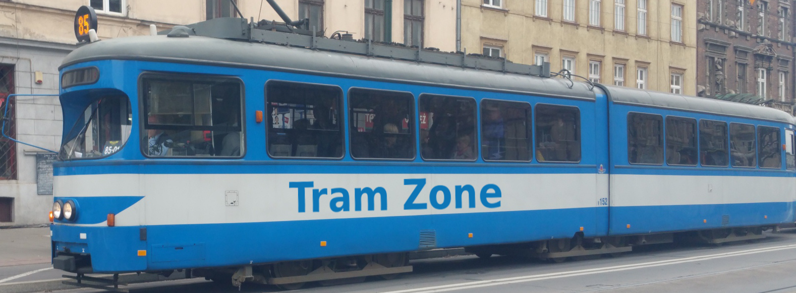
Tram systems in Calgary
Calgary is a city in the province of Alberta, in western Canada. Situated at the confluence of the Bow and Elbow rivers, east of the Rocky Mountains, it is a major commercial and transport centre with strong links to the energy industry. Its downtown business district is surrounded by extensive suburban neighbourhoods, making transport between the centre and outer districts an important part of city life.
Public transport includes the CTrain light rail network, MAX bus rapid transit services, and local and express buses. CTrain forms the backbone of the network, linking downtown Calgary with suburban districts in the northwest, northeast, west and south. Bus services extend coverage to neighbourhoods beyond the railway and provide connections at CTrain stations.
MAX complements the rail network with routes serving major destinations such as universities, hospitals and shopping areas. These services include cross-city connections that allow passengers to travel between outer districts without passing through downtown, supported by enhanced stops and measures to improve bus priority.
The CTrain network comprises two light rail lines: Red and Blue. The Red Line connects Tuscany in the northwest with Somerset-Bridlewood in the south, serving the University of Calgary and the Stampede grounds along the way. The Blue Line links Saddletowne in the northeast with 69 Street in the west, providing connections through the eastern and western suburbs.
Both lines pass through the city centre and share the surface corridor along 7 Avenue, where passengers can interchange between them. This central section brings the network directly into the downtown commercial area, and journeys wholly within the designated downtown Free Fare Zone are free of charge.
Calgary currently has 2 tram lines. Further information is available in the Lines tab.
The CTrain network is operated by Calgary Transit, which also operates MAX and the city’s local and express bus services. Rail and bus services form an integrated network, with connections at stations and shared passenger information and journey-planning resources.
Useful official links:
Calgary’s first electric streetcars began operating in 1909, introducing a permanent public transport network to the rapidly growing city. The initial fleet comprised 12 cars operating over approximately 26 km of track. Routes connected the city centre with residential districts, helping to shape the development of neighbourhoods beyond downtown.
The network subsequently expanded to serve districts including Tuxedo Park, Mount Pleasant, Elbow Park and Killarney, with a line also reaching Bowness. At its height, the system had nearly 80 streetcars. Motor buses were introduced in 1932, initially extending public transport to communities without tram routes.
During the 1940s, streetcars were progressively replaced by motor buses and electric trolleybuses. The last streetcar service ended in 1950, leaving Calgary without an urban passenger rail network. Trolleybuses continued operating until 1975, when the remaining services were converted to diesel buses.
Continued population growth and the expansion of suburban Calgary created demand for higher-capacity public transport. Planning for rapid transit developed during the 1960s and 1970s, and construction of the CTrain began in 1978. The first line opened on 25 May 1981, connecting Anderson in the south with downtown Calgary and the surface transit corridor along 7 Avenue.
A second route opened in 1985, extending northeast from downtown to Whitehorn. The northwest route to University followed in 1987, ahead of the 1988 Winter Olympics, and was linked with the existing southern route. An extension from University to Brentwood opened in 1990, establishing the three suburban corridors around which the network would develop.
A further period of expansion began in the early 2000s. The southern route reached Fish Creek–Lacombe in 2001 and Somerset-Bridlewood in 2004. In the northwest, the line was extended from Brentwood to Dalhousie in 2003 and then to Crowfoot in 2009. These extensions brought rail services closer to growing residential areas and provided additional interchange points for suburban buses.
The northeast route was extended from Whitehorn to McKnight-Westwinds in 2007, followed by Martindale and Saddletowne in August 2012. In the northwest, the extension beyond Crowfoot to Tuscany opened for passenger service on 25 August 2014, serving the communities of Tuscany, Rocky Ridge and Royal Oak.
The West LRT opened on 10 December 2012, adding a new corridor from downtown to 69 Street. Serving districts including Sunalta and Westbrook, it introduced a combination of elevated, surface and underground infrastructure through the western part of the city. The new route was joined to the existing northeast service, establishing the Blue Line’s present cross-city alignment between 69 Street and Saddletowne.
Together with the northwest–south Red Line, this created the current arrangement of two through routes sharing the central corridor along 7 Avenue.
Expansion was accompanied by investment in trains and stations. Siemens SD160 vehicles began arriving in 2001 to supplement the original Siemens-Duewag U2 fleet. A further generation of Siemens S200 vehicles arrived from 2016, beginning the replacement of the oldest trains and introducing features including air conditioning, heated floors and improved passenger information.
More recently, the Victoria Park/Stampede station reconstruction replaced the former elevated-access station arrangement with an accessible street-level layout. The wider station and 17 Avenue SE extension project opened in October 2024, improving connections between the railway, Stampede Park and the surrounding district.
Calgary currently has 2 tram lines, which are listed below.
| Line | Description |
|---|---|
| Red | The Red line runs between Tuscany and Somerset-Bridlewood via the University of Calgary, downtown Calgary and Chinook. |
| Blue | The Blue line runs between Saddletowne and 69 Street via Whitehorn, downtown Calgary and Westbrook. |
The CTrain network uses standard-gauge track (1,435 mm) and 600 V DC overhead electrification, with power collected by pantograph. The Red and Blue lines share compatible infrastructure and the central surface corridor along 7 Avenue before diverging towards their suburban destinations.
Outside downtown, the routes largely follow reserved alignments, including railway corridors and sections alongside major roads. Level crossings are combined with bridges, tunnels and grade-separated junctions. The western section includes the elevated station at Sunalta and the underground station at Westbrook, reflecting the varied terrain and urban surroundings through which the line passes.
Stations have raised platforms designed for the high-floor fleet. Step-free access is provided through ground-level entrances, ramps or lifts, depending on the station layout. Accessible vehicle doors have deployable bridging ramps to assist passengers across the gap between train and platform. Platform extensions have enabled operation of trains formed of up to four coupled vehicles.
The operating fleet comprises Siemens-Duewag U2, Siemens SD160 and Siemens S200 light rail vehicles. These are articulated, high-floor vehicles with driving cabs at both ends, allowing trains to reverse at termini without turning loops. Vehicles operate in coupled formations, with train length adjusted to service requirements.
The U2 vehicles formed the original fleet when CTrain opened in 1981. SD160 vehicles began arriving in 2001, followed by a further generation delivered from 2010. The S200 fleet entered service from 2016 and is known locally as “The Mask”, reflecting the hockey-goalie-mask appearance of its cab ends. These newer vehicles include air conditioning, heated floors, digital passenger information and improved accessibility features.
A further batch of 40 S200 vehicles, designated Series 10 by Calgary Transit, is being introduced from 2026. The first entered service in June that year, with the phased introduction intended to allow the remaining U2 vehicles to be withdrawn by 2028.
For the future Green Line, Calgary has ordered 28 CAF Urbos 100 low-floor vehicles. These will be approximately 42 metres long and are planned to operate in two-car formations. Their lower floors require a different platform arrangement from the existing CTrain fleet, and they will serve the separate Green Line infrastructure.
Construction is underway on the first phase of Calgary’s Green Line, which will introduce a new light rail route between the southeastern suburbs and downtown. The southeast section runs from Shepard to Event Centre/Grand Central Station, serving communities including Douglas Glen, Quarry Park, Ogden and Ramsay/Inglewood. The project is currently targeting opening in 2031.
In September 2026, City Council approved a surface alignment for the downtown section along 10 Avenue South, continuing from Event Centre/Grand Central Station to a new terminus near 2 Street SW. This section is undergoing planning and design, with the detailed arrangement of tracks, road traffic and station facilities still to be determined.
The Green Line will use low-floor vehicles and will operate separately from the existing Red and Blue lines. Connections to those lines will involve a walk north from the downtown terminus, with a planned link into the Plus 15 pedestrian network providing an additional route towards the existing CTrain stations.
An approximately 1 km extension is being designed from Saddletowne to a new station at 88 Avenue NE and 60 Street NE. The project will extend rail coverage into the growing northeastern suburbs and provide a future interchange with the separately planned airport transit connection.
Engineering design began in 2024 and remains underway. A construction start date has not yet been confirmed, and no passenger opening date has been announced. The extension forms the next stage of a longer-term plan to extend the Blue Line farther north.
Planning is underway for an approximately 4 km extension from Somerset-Bridlewood to 210 Avenue South, with two new stations at Silverado and 210 Avenue South. The proposal would improve access to the rail network for growing communities in southern Calgary and includes a new light rail vehicle maintenance and storage facility near the proposed terminus.
The project remains at the functional planning stage, examining the alignment, station layouts, interchange facilities and land requirements. Detailed design and construction are not currently funded, and there is no confirmed opening date.
The wider Green Line plan envisages a route from Seton in the southeast to 160 Avenue North. Beyond the first phase, a southern extension would serve Prestwick, McKenzie Towne, Auburn Bay/Mahogany and South Health Campus before reaching Seton. Expansion north of downtown would serve the Centre Street corridor and northern communities. These extensions depend on further decisions and funding and do not have confirmed construction or opening dates.
Calgary’s longer-term plans also include further northeast extensions of the Blue Line beyond 88 Avenue and a western extension to 85 Street. These remain future network proposals rather than projects with committed opening dates.