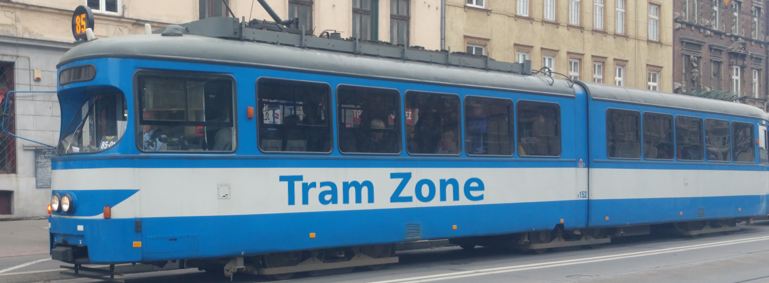
Tram line T1 in Blackpool
Stops: 40
Route length: approximately 19 km
End-to-end journey time: approximately 67 minutes
Blackpool Transport runs trams between Starr Gate and Fleetwood Ferry. Some journeys call at Blackpool North Station, while others stay on the direct Promenade route. This page follows a journey via North Station. The operator's tram timetable shows which journeys serve the branch.
From Starr Gate, trams follow the seafront past Pleasure Beach, South Pier, Central Pier and Blackpool Tower. Journeys via North Station call at Talbot Square on the way into the station. After reversing, they call at North Pier and continue north along the Promenade.
The route passes Gynn Square, Bispham and Little Bispham before reaching Cleveleys. It then continues through Rossall and Fleetwood, ending at Fleetwood Ferry.
Below is a stop-by-stop description of the route of tram line T1 in Blackpool. Times shown are an estimate of the time taken to travel between each stop.
The following icons are shown next to the name of the stop to indicate interchanges with other routes
- Interchange for other tram routes.
- Interchange on to bus routes.
- Interchange on to train routes.
- Interchange on to metro/subway/underground routes.
- Interchange on to boat routes.
- Interchange for airport.
- Interchange for a cable-car/urban cable-car service.
- Interchange for a lift.
Starr Gate is the southern terminus of the Blackpool tram system. The stop is located next to the Starr Gate tram depot. Squires Gate railway station is nearby.
The stop provides connections to bus services.
Harrow Place is a stop located next to the junction of New S Promenade and Harrow Place.
Burlington Road West is a stop located next to the junction of New S Promenade and Burlington Road West.
The stop provides connections to bus services.
Pleasure Beach is a stop located next to Blackbool Pleasure Beach. The Pleasure Beach is one of Blackpool's main attractions and has been operating since 1896.
South Pier is a stop located next to Blackpool's South Pier. South Pier is Blackpool's newest pier, having opened as Victoria Pier in 1893 and being renamed South Pier in 1930.
The stop provides connections to bus services.
Waterloo Road is a stop located next to the junction of Promenade and Waterloo Road.
The stop provides connections to bus services.
St Chad's Road is a stop located next to the junction of Promenade and St Chad's Road.
The stop provides connections to bus services.
Manchester Square is a stop located next to the junction of Promenade and Rigby Road. The stop is close to the Rigby Road Depot, where Blackpool's historic trams are stored.
The stop provides connections to bus services.
Central Pier is a stop located next to Blackpool's Central Pier. The Central Pier opened in 1868 as Blackpools second pier and is recognisable for its Ferris wheel.
The stop provides connections to bus services.
Tower is a stop located near to the Blackpool Tower, the iconic 158-metre tall landmark, which opened in 1894.
The stop provides connections to bus services.
Talbot Square is a stop located on Talbot Road, at the junction with Clifton Street.
Note: The stop is only served by trams going towards North Station and not all trams are timetabled to go via North Station, others go direct from Tower to North Pier.
North Station is a stop located on the forecourt of Blackpool North Station. After Blackpool North Station, the service returns along Talbot Road to the main route.
Note: Not all trams are timetabled to go via North Station, others go direct from Tower to North Pier.
The stop provides connections to bus and rail services.
North Pier is a stop located next to Blackpool's North Pier. The North Pier is the longest and oldest of Blackpool's three piers, having been built in 1863.
The stop provides connections to bus services.
Pleasant Street is a stop located next to the junction of Promenade and Pleasant Street.
The stop provides connections to bus services.
Wilton Parade is a stop located next to the junction of Promenade and Wilton Parade.
The stop provides connections to bus services.
Gynn Square is a stop located next to Gynn Square. A notable feature of the square is Spitfire Island, an illuminated installation depictsing 3 Spitfire airplanes in flight
The stop provides connections to bus services.
Cliffs Hotel is a stop located opposite Cliffs Hotel, which it is named after.
The stop provides connections to bus services.
Cabin is a stop located next to the junction of Promenade and Knowle Avenue. The stop's name is a reference to Uncle Tom’s Cabin, a historic North Shore entertainment venue that used to be located opposite the stop
The stop provides connections to bus services.
Lowther Avenue is a stop located next to the junction of Promenade and Lowther Avenue.
The stop provides connections to bus services.
Cavendish Road is a stop located next to the junction of Promenade and Cavendish Road.
The stop provides connections to bus services.
Bispham is a stop located next to the junction of Promenade and Red Bank Road.
The stop provides connections to bus services.
Sandhurst Avenue is a stop located next to the junction of Promenade and Sandhurst Avenue.
Norbreck is a stop located next to the junction of Promenade and Norbreck Road and opposite the Norbreck Castle Hotel.
The stop provides connections to bus services.
Norbreck North is a stop located next to the junction of Promenade and Norbreck North.
The stop provides connections to bus services.
Little Bispham is a stop located next to the junction of Promenade and Shore Road.
The stop provides connections to bus services.
Anchorsholme Lane is a stop located next to the junction of Fleetwood Road and Anchorsholme Lane.
Cleveleys is a stop located in Cleveley next to the junction of Brighton Ave and York Ave.
West Drive is a stop located next to the junction of Rossall Road and West Drive.
The stop provides connections to bus services.
Thornton Gate is a stop located next to the junction of Gloucester Ave and Cumberland Ave.
Rossall Beach is a stop located next to the junction of Kendal Ave and Milnthorpe Ave.
Rossall School is a stop located on Broadway, next to Rossall School.
The stop provides connections to bus services.
Rossall Square is a stop located on S Strand, close to the junction with Broadway.
Broadwater is a stop located next to the junction of Melbourne Ave and The Crescent.
The stop provides connections to bus services.
Heathfield Road is a stop located next to the junction of Radcliffe Road and Heathfield Road.
Lindel Road is a stop located next to the junction of Radcliffe Road and Lindel Road.
Stanley Road is a stop located next to the junction of Radcliffe Road and Stanley Road.
The stop provides connections to bus services.
Fishermans Walk is a stop located next to the junction of Radcliffe Road and Elm Street.
The stop provides connections to bus services.
London Street is a stop located next to the junction of Lord Street and London Street.
The stop provides connections to bus services.
Victoria Street is a stop located next to the junction of Lord Street and Victoria Street.
Fleetwood Ferry is a stop located on Bold Street, next to Euston Gardens.
The stop provides connections to bus services.